Viktor Wolf · 8 October 2026
Tidal Monitoring Systems Inform Adaptive Access to Lighthouses and Shoreline Rehabilitation Projects
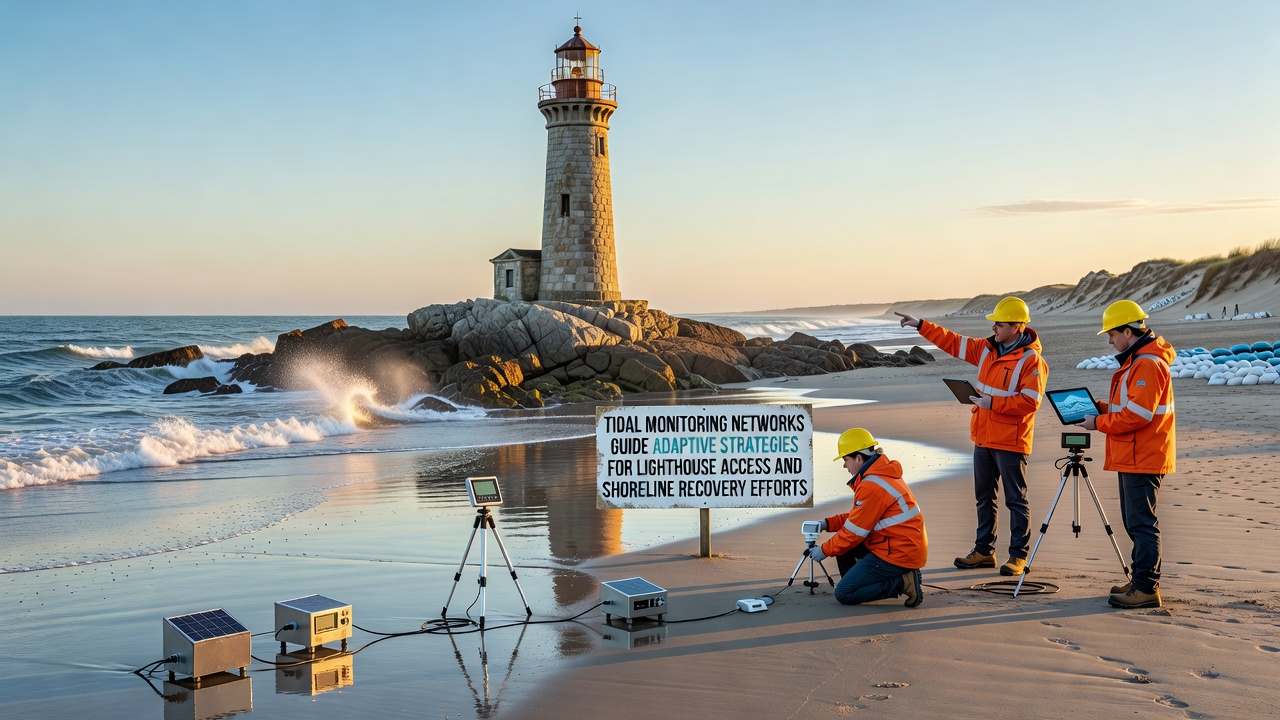
Coastal authorities have expanded networks of tidal gauges and sensor arrays that track water levels, wave patterns, and sediment movement in real time, and these systems now shape decisions about lighthouse access routes as well as broader shoreline rehabilitation work. Data from the networks reveal daily and seasonal fluctuations that affect footpaths, boat landings, and erosion control measures around many historic lighthouse sites.
Researchers at marine institutes note that continuous readings allow planners to schedule maintenance visits during lower tide windows while also identifying sections of shoreline where sediment loss accelerates after storm events. In October 2026 several agencies reported that integrated sensor data had guided the repositioning of temporary access platforms at three lighthouse locations along the Pacific Northwest coast.
Data Collection and Network Design
Modern tidal monitoring networks combine fixed buoys, shore-based radar units, and subsurface pressure sensors that transmit readings every few minutes through satellite and cellular links. Government agencies in the United States, Australia, and the European Union operate overlapping arrays that share standardized data formats, which lets analysts compare conditions across different coastal regions without lengthy delays. One study published by the Australian Institute of Marine Science showed how cross-border data streams improved forecasts of tide-driven sediment transport by 18 percent compared with single-agency models.
Engineers calibrate instruments against local benchmarks so that readings reflect both astronomical tides and meteorological influences such as wind setup or river discharge. When networks detect sustained rises above seasonal norms, coastal teams receive automated alerts that trigger reviews of lighthouse access schedules and shoreline stabilization priorities. Observers note that the same alerts have helped crews avoid unsafe conditions during periods when elevated water levels submerged traditional landing points for several consecutive days.
Guiding Lighthouse Access Routes
Lighthouse keepers and maintenance crews rely on network outputs to select safe approach paths that change with each tidal cycle. At sites where staircases or causeways become inundated, temporary floating bridges or adjusted boat schedules have replaced fixed routes after analysts reviewed multi-week tide records. Data collected through 2026 indicate that adaptive scheduling reduced missed maintenance windows by nearly one third at monitored locations.
Planners also use wave-height statistics to determine when helicopter landings remain feasible versus when vessel transfers offer lower risk. In regions where winter storms produce larger swells, network dashboards display color-coded risk levels that dispatch centers consult before authorizing visits. Those dashboards draw from both nearshore buoys and offshore radar feeds, giving operators a layered picture rather than a single-point forecast.
Supporting Shoreline Recovery Projects
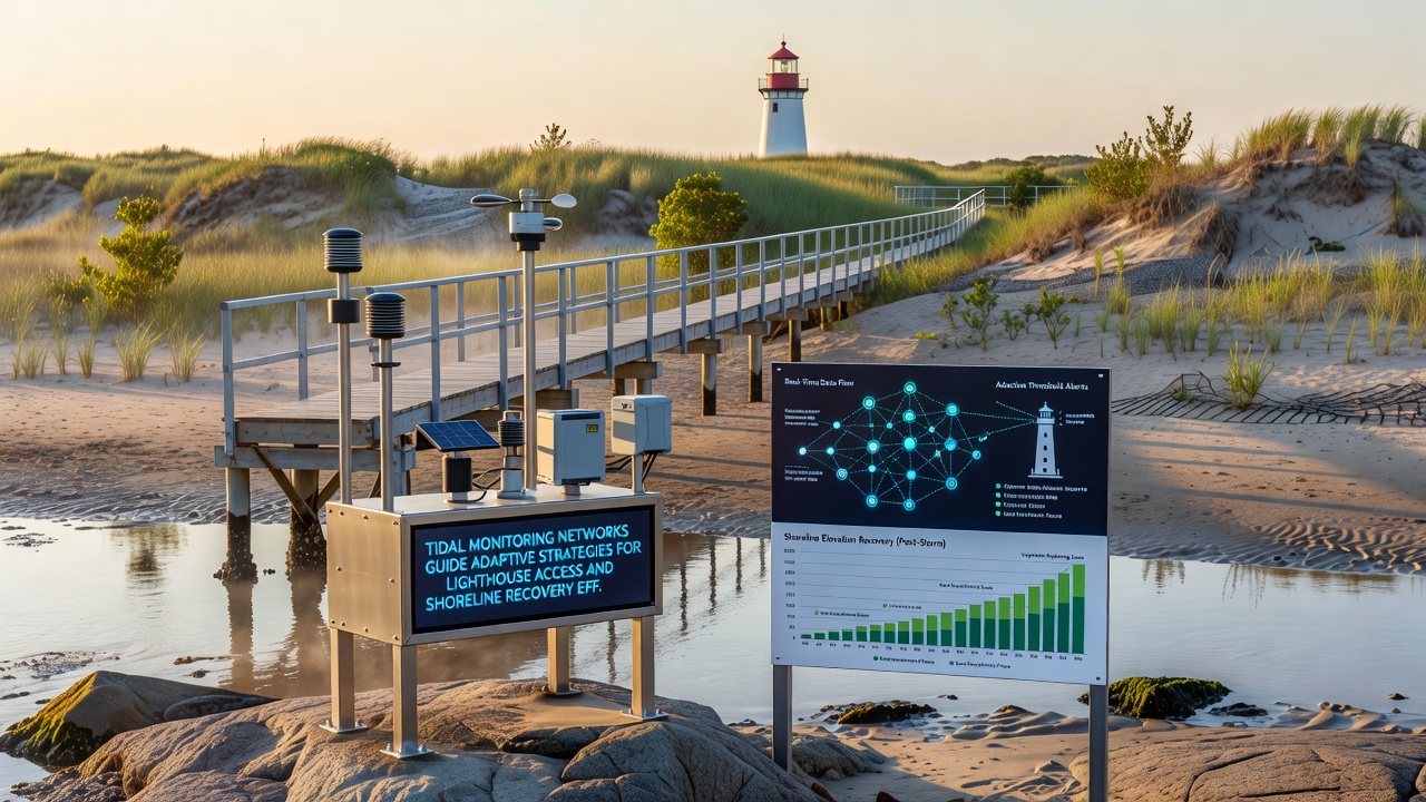
Shoreline recovery teams apply the same datasets when designing beach nourishment and dune restoration projects near lighthouse properties. Sediment transport models fed by real-time gauge readings help engineers calculate how much material must be placed to offset losses recorded after successive high-tide events. According to figures released by the National Oceanic and Atmospheric Administration, several Pacific coast projects completed in 2025 achieved target beach widths within six months when placement timing aligned with predicted low-energy wave periods identified by the networks.
Recovery crews also monitor post-project performance through the same sensor arrays, comparing pre- and post-nourishment profiles to verify that placed sand remains in place during subsequent tidal cycles. When early losses appear, teams adjust follow-up placements or add stabilizing structures such as low-profile groins. European Environment Agency reports from the North Sea region describe similar adjustments at two sites where network alerts prompted earlier interventions that preserved newly restored dune fronts.
Case Examples from Multiple Regions
Along the Oregon coast, a sensor cluster installed in 2024 supplied data that allowed crews to move a lighthouse access boardwalk 12 meters inland before the winter high-tide season began. The relocation prevented repeated flooding that had previously halted supply deliveries for weeks at a time. In Queensland, Australia, authorities used comparable readings to time the installation of geotextile bags that protect a historic lighthouse foundation from undercutting during spring tides.
Canadian researchers working on the Atlantic coast have integrated tidal network outputs with lidar surveys to map micro-changes in intertidal zones around lighthouse islands. Their models now predict which access ramps will remain usable through a given month, allowing supply vessels to plan loads and departure times with greater certainty. Each of these projects demonstrates how continuous monitoring translates into concrete scheduling and design choices rather than reactive repairs after damage occurs.
Future Integration and Data Sharing
Agencies continue to expand network coverage and improve interoperability so that forecasts extend further ahead and incorporate additional variables such as sea-level rise projections. Joint working groups between NOAA, the Australian Institute of Marine Science, and the European Environment Agency meet quarterly to align data standards and share validation studies. The result is a growing library of case records that coastal managers consult when prioritizing limited restoration funds across multiple lighthouse sites.
Training programs now teach field teams to interpret dashboard outputs directly, reducing the time between data collection and on-site decisions. As October 2026 draws to a close, several regions report that the combination of denser sensor coverage and faster data pipelines has shortened the interval from alert to implemented access change from days to hours at key lighthouse facilities.
Conclusion
Tidal monitoring networks supply the quantitative foundation for adaptive strategies that keep lighthouse access functional and shoreline recovery projects aligned with actual coastal dynamics. By delivering continuous, location-specific readings, these systems enable planners to adjust routes, schedules, and material placements before problems escalate. Ongoing expansion of shared data platforms suggests that future decisions will rest on even broader geographic coverage and longer historical baselines, supporting more precise interventions at both operational and strategic scales.