Cameron Keller · 22 October 2026
Marine Conservation Data Reveals Links Between Seal Habitats and Evolving Shellfish Harvest Adjustments
Marine conservation datasets compiled through 2026 show clear correlations between protected seal habitats and the shifting boundaries used for shellfish harvesting along multiple coastlines, and these connections have prompted regulatory bodies to review seasonal access rules in several regions. Data collected from satellite tracking, underwater sensors, and harvest logs indicate that seal populations have expanded their foraging ranges into areas previously open for commercial clam and mussel operations, which in turn has led managers to adjust closure periods and quota allocations.
Tracking Seal Movements and Habitat Overlap
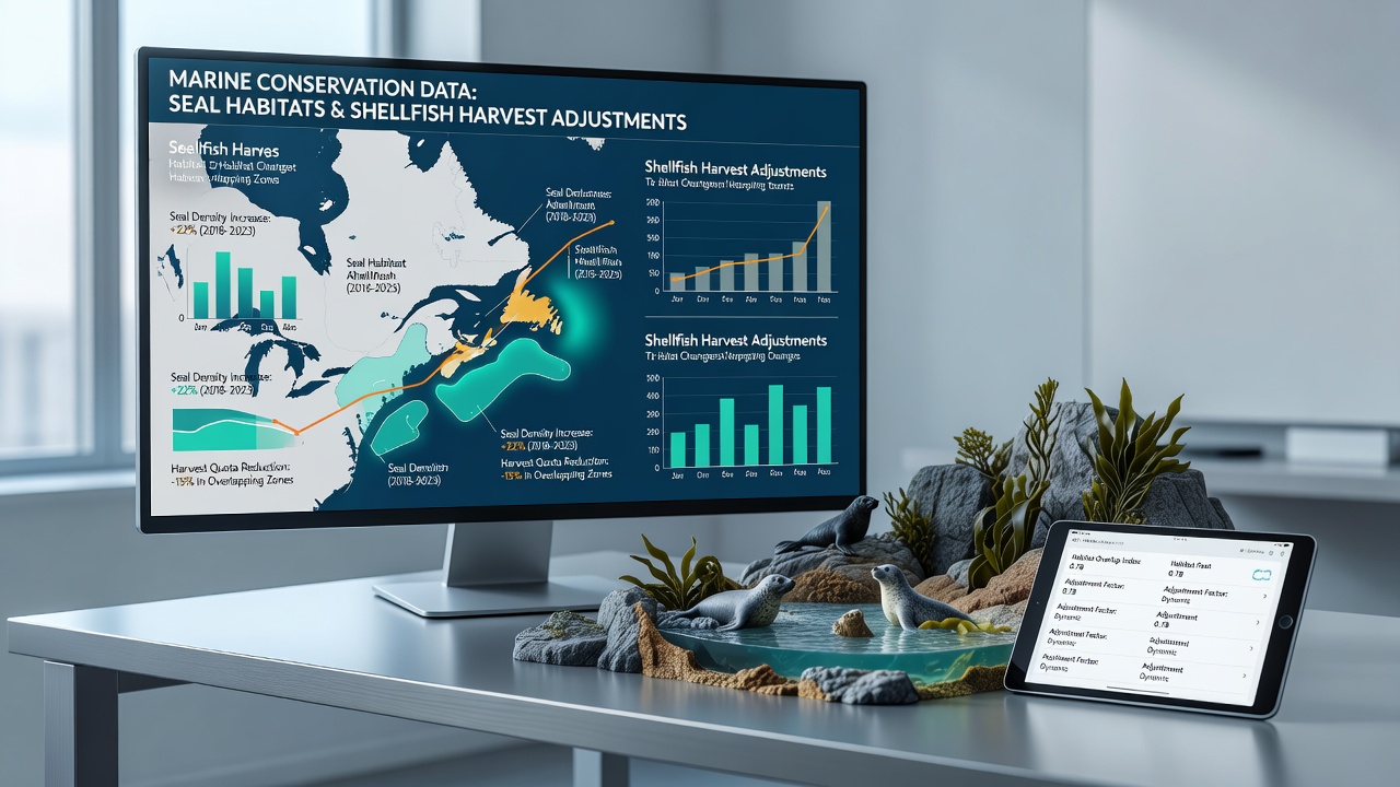
Researchers monitoring gray and harbor seal colonies have documented increased activity near traditional shellfish beds since the early 2020s, with tagged individuals spending more time in shallow coastal zones during autumn months. In October 2026, updated mapping from North American and European monitoring programs revealed that certain seal haul-out sites now sit within 500 meters of active harvest leases, creating direct spatial conflicts that were less pronounced a decade earlier. These findings come from integrated datasets that combine GPS telemetry with benthic habitat surveys, allowing analysts to plot precise overlap zones where both species rely on the same prey resources.
Observers note that seal diet studies conducted off the northeastern United States and parts of the North Sea show higher consumption of bivalves during periods when fish stocks shift due to temperature changes, and this behavioral adjustment appears to concentrate animals in harvest areas during peak collection seasons. Government agencies in Canada and Australia have begun cross-referencing similar telemetry records with shellfish lease coordinates to identify emerging pressure points before conflicts intensify.
Harvest Adjustments Driven by Overlap Data
Shellfish management plans in affected zones now incorporate dynamic buffer requirements that expand or contract based on recent seal sighting densities, and several jurisdictions have introduced rolling closures that align with seal migration peaks rather than fixed calendar dates. Figures from the National Oceanic and Atmospheric Administration indicate that lease holders in one mid-Atlantic district experienced a 14 percent reduction in open harvest days during 2025 after models flagged sustained seal presence, yet overall biomass targets remained stable because operators concentrated effort in less contested beds. Similar adjustments in European waters have relied on acoustic monitoring to detect seal foraging bouts, allowing authorities to shorten daily windows instead of imposing blanket bans.

Industry groups have responded by adopting real-time reporting apps that log both catch volumes and marine mammal observations, feeding the same databases used by conservation teams. This feedback loop has produced more granular maps that distinguish between transient seal visits and established foraging corridors, and the distinction matters when regulators decide whether temporary relocation of harvest gear will suffice or whether longer-term lease modifications are needed.
Regional Examples and Regulatory Responses
One study along the Canadian Atlantic coast tracked a colony whose range expanded southward by roughly 12 kilometers over four years, overlapping with previously productive surf clam grounds and prompting Fisheries and Oceans Canada to revise seasonal access windows starting in late 2025. In parallel, Australian researchers working in Bass Strait reported that increased seal numbers near mussel farms led to the installation of acoustic deterrents combined with adjusted harvest schedules, measures that maintained production levels while reducing direct interactions. European Union marine spatial planning documents released in 2026 reference these North American and Australian cases when outlining best practices for integrating mammal protection with commercial aquaculture zones.
What's interesting is how the same datasets also reveal benefits, such as seals helping control certain invasive crab species that compete with native shellfish, and some managers have begun factoring these ecosystem services into quota calculations. Yet the primary driver remains spatial conflict, and agencies continue refining predictive models that forecast where overlap will intensify under continued ocean warming scenarios.
Future Monitoring and Data Integration
Continued expansion of sensor networks and improved machine-learning classification of seal vocalizations should allow earlier detection of range shifts, giving harvest planners more lead time to adapt boundaries. Collaborative platforms now link university research teams with regulatory offices across multiple continents, and the shared protocols emphasize standardized metrics for both seal abundance and shellfish stock health. Those who have reviewed the October 2026 data releases note that the strongest correlations appear in areas where prey fish declines have already been documented, suggesting that broader ecosystem changes underpin the observed habitat linkages rather than isolated population rebounds alone.
Conclusion
Marine conservation records continue to demonstrate that seal habitat use and shellfish harvest planning have become interdependent variables that require coordinated management approaches across regions. Updated mapping and reporting systems have already produced measurable adjustments in several jurisdictions, and ongoing data integration efforts aim to keep those adjustments responsive to both ecological and economic realities.