Ulrich Washington · 5 November 2026
Coastal Sensor Systems Combine Real-Time Data and Storm Recovery Records to Prioritize Beach Restoration Efforts
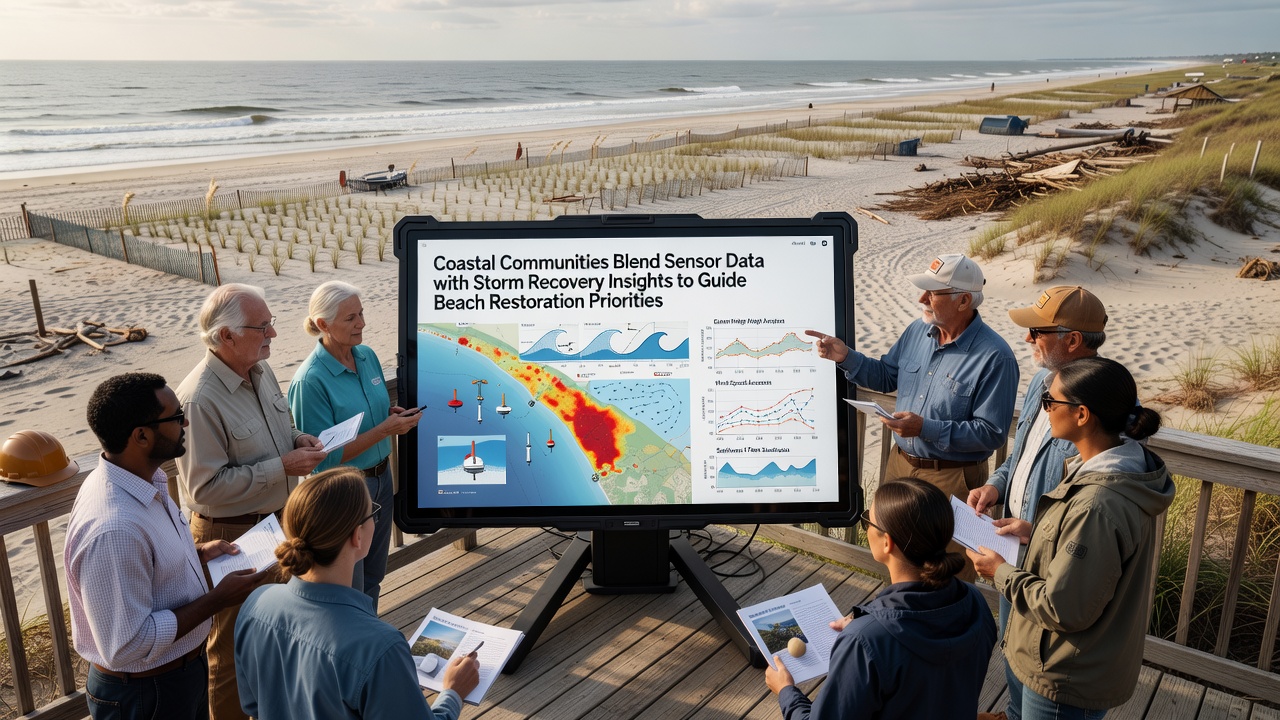
Coastal communities have turned to integrated sensor networks that collect wave height, sediment movement, and water level measurements while cross-referencing those readings with detailed records from recent storm events to determine where beach restoration funds and equipment should go first. Researchers at several universities have documented how these combined datasets allow planners to rank project sites based on measured erosion rates rather than visual estimates alone, and the approach gained wider use after the active storm season that extended into November 2026.
Local agencies install arrays of pressure sensors, acoustic Doppler current profilers, and lidar-equipped drones along vulnerable stretches of shoreline. These instruments transmit continuous readings that capture subtle changes in beach profiles during calm periods as well as dramatic shifts that occur when large waves arrive. Analysts then overlay the sensor output with storm recovery reports that list overwash distances, dune scarping depths, and volumes of sand lost or redistributed during specific events.
How Data Streams Merge
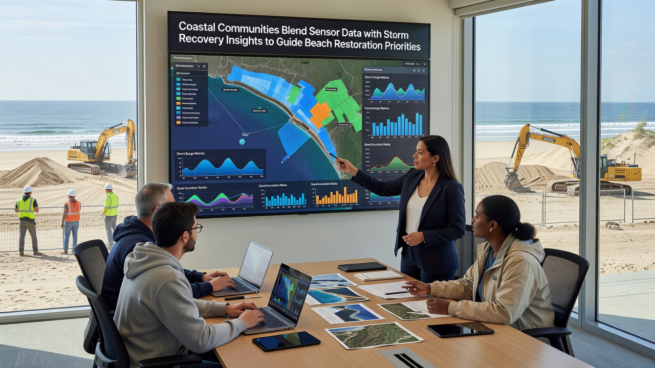
Technicians upload both the live sensor streams and archived storm damage assessments into shared databases maintained by regional coastal management offices. Software tools compare pre-storm baseline profiles against post-storm measurements, then calculate net sediment transport for each monitored segment. The resulting priority maps highlight locations where natural recovery remains insufficient and where engineered nourishment or structure placement would produce the greatest stabilization benefit. Observers note that this method reduces the time between storm impact and the start of restoration work because decisions rest on quantified thresholds instead of repeated site visits.
Regional Applications and Examples
In one documented case along the mid-Atlantic coast, sensor data collected during the late 2026 storm sequence showed that a particular barrier island segment lost 35 percent more sand than neighboring areas yet retained a wider back-beach platform. Restoration crews used that information to schedule targeted pumping operations only where the platform width had fallen below the threshold needed to protect adjacent infrastructure. Similar projects in the Pacific Northwest have combined sensor-derived current vectors with storm surge logs to adjust the timing of gravel placement so that material remains in place longer before winter wave patterns redistribute it.
European programs have adopted comparable techniques. The European Environment Agency maintains an open repository that pairs national sensor networks with post-storm aerial surveys, allowing member states to compare restoration outcomes across different sediment types and wave climates. Canadian coastal authorities have reported that linking acoustic sensor readings to storm recovery datasets helped them shorten permitting timelines for emergency sand placement projects by several weeks.
Technical Challenges and Adjustments
Calibration remains an ongoing task because sensor drift and biofouling can alter readings over months of continuous deployment. Maintenance crews therefore schedule periodic checks that coincide with scheduled storm recovery inspections, which reduces separate field trips. Data integration platforms must also handle differing time stamps and spatial resolutions between high-frequency sensor bursts and the broader-scale storm reports compiled days or weeks after an event. Teams address these mismatches through standardized interpolation routines that preserve the original measurement accuracy while creating unified time series suitable for modeling.
Funding agencies have begun requiring that grant applications include both sensor coverage maps and storm recovery summaries before approving large-scale nourishment contracts. This requirement has prompted several states to expand their monitoring arrays during the 2026-2027 winter season, particularly in areas where previous projects lacked sufficient baseline data. The expanded coverage now feeds into regional models that forecast how restored beach widths will respond to projected sea-level trends over the next decade.
Conclusion
Coastal managers continue to refine the fusion of sensor streams and storm recovery documentation as new instruments become available and as additional storm seasons add fresh data points. The resulting priority frameworks give restoration teams clearer guidance on where limited resources will produce measurable improvements in beach stability and infrastructure protection. Ongoing coordination between field technicians, data analysts, and permitting offices keeps the process responsive to the conditions recorded after each significant weather event.